Lord of the Land
קבלו מידע על הנכס שלכם, תוך שניות
גוש חלקה, תכניות, ניתוח מסמכים, חוקים ותקנות — ממקורות רשמיים, במקום אחד*
הכניסו כתובת או גוש חלקה
לדוגמה: הרצל 10 תל אביב
*זמינות הנתונים משתנה בין אזורים
Israel · Florida · New York · Los Angeles · Seattle · Greece · Cyprus · Spain · France · and more
רוצה להתחיל מיד?
חינם לניסיון · ללא כרטיס אשראי
See it in action
Real screenshots from the platform.
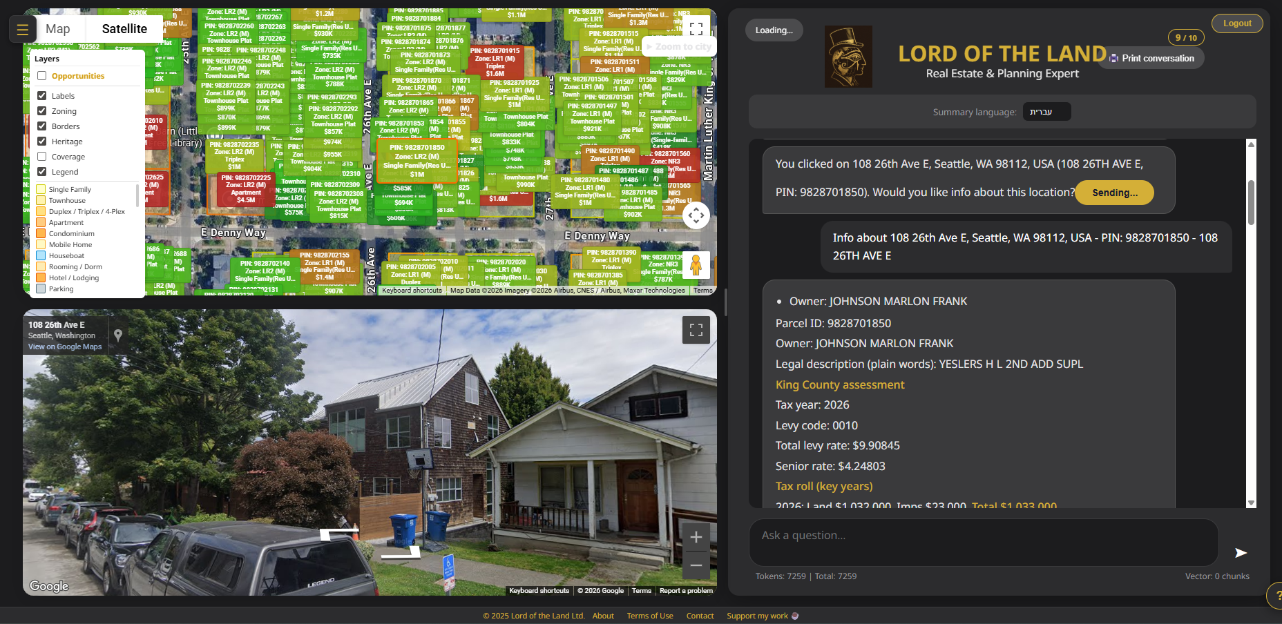
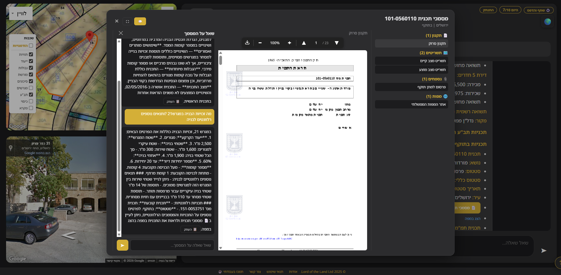
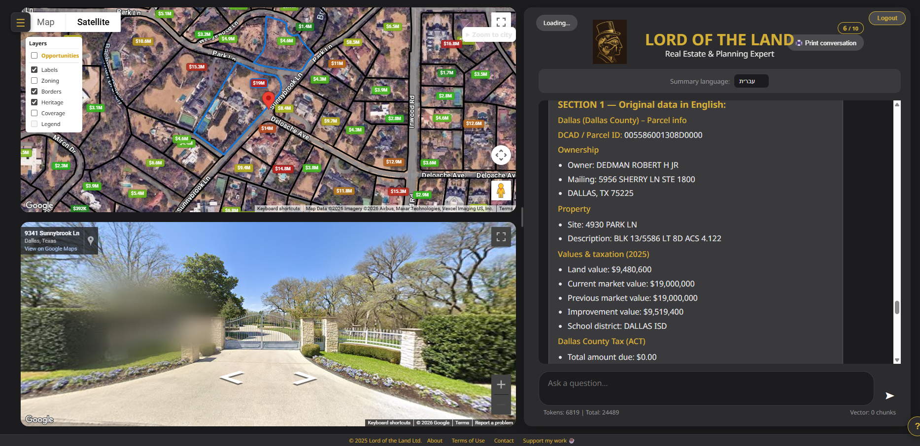
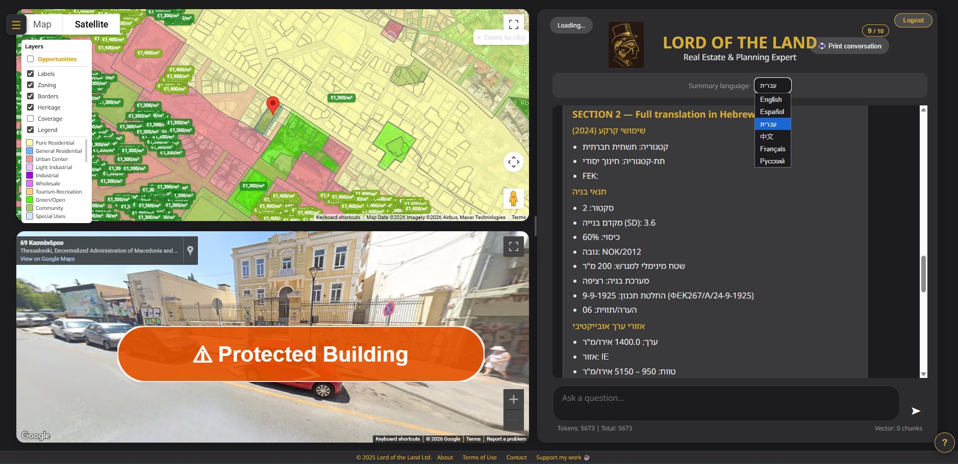
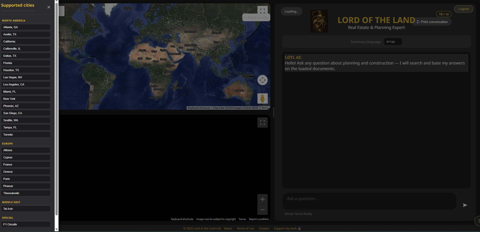
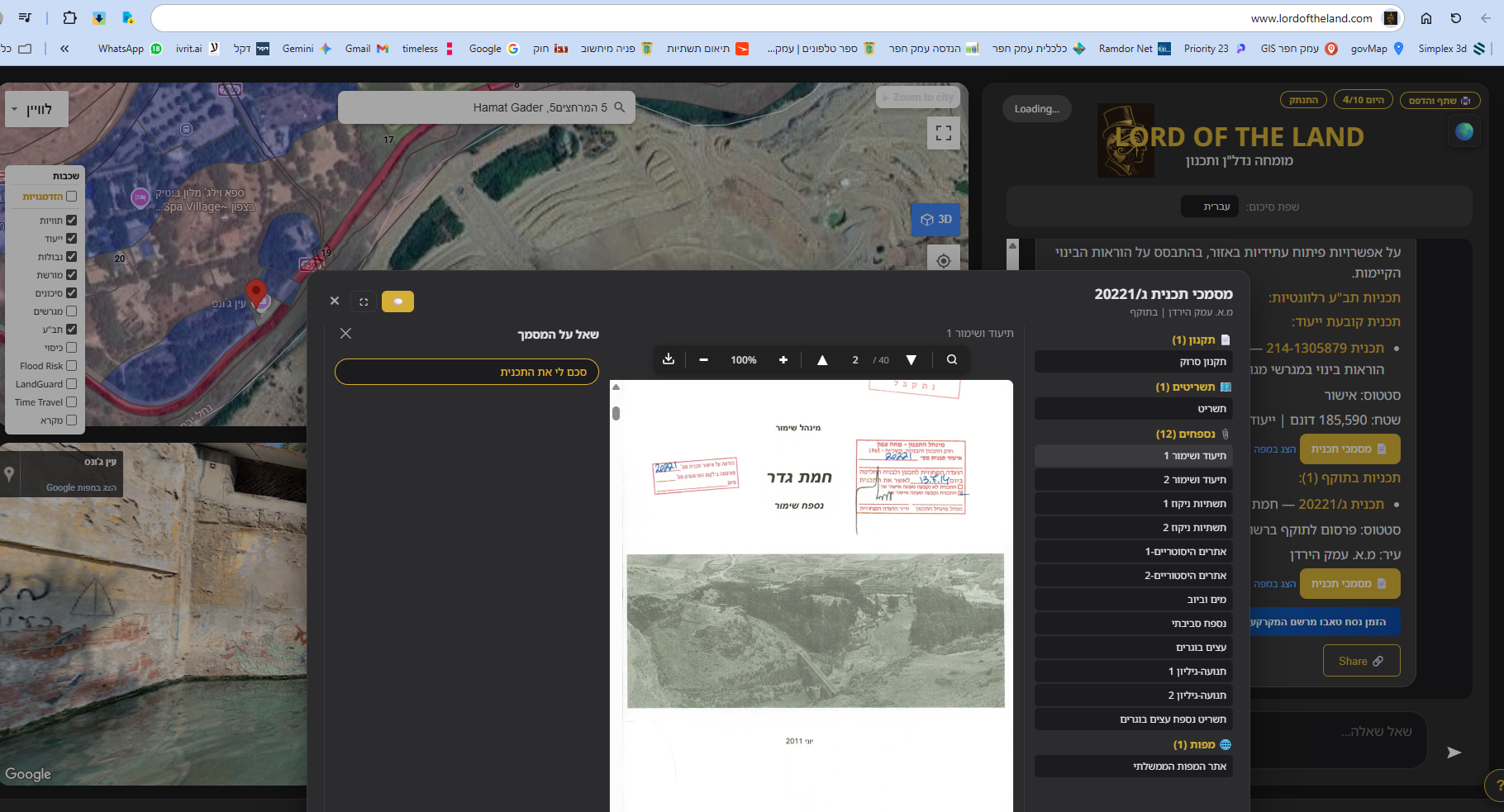
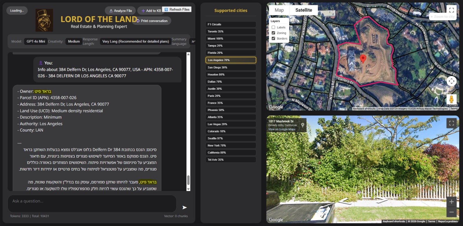
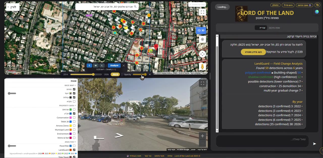
How it works
Three steps to property intelligence.
Click
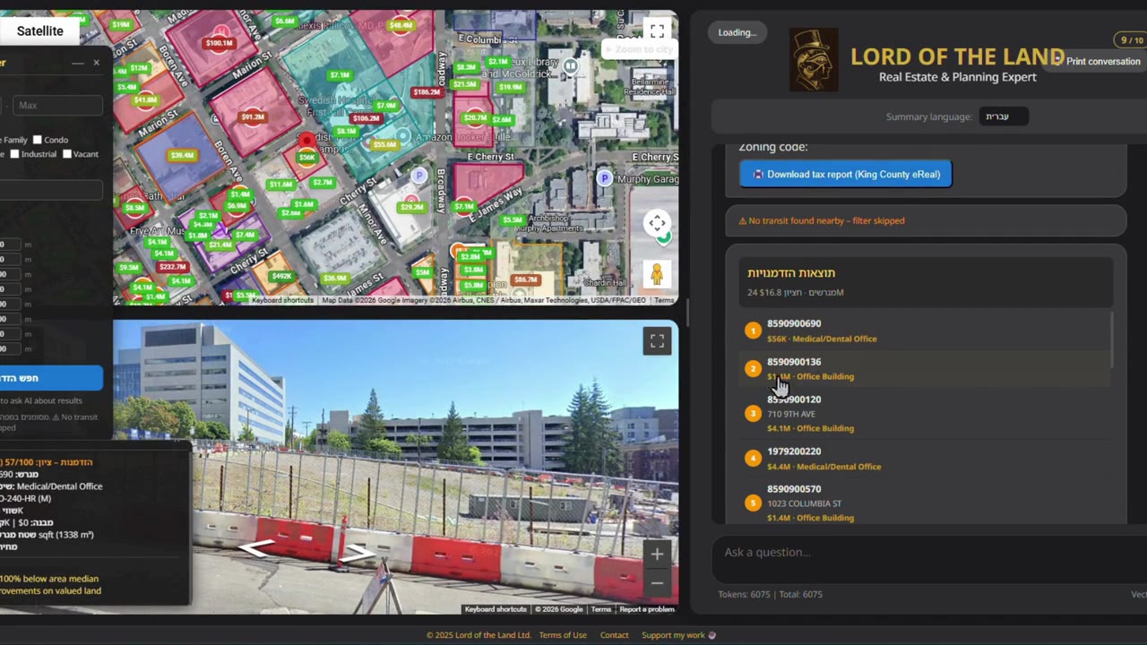
Click any location on the map — or type an address. We detect the city and find the parcel automatically.
Analyze
Our AI pulls zoning, ownership, land use, values, and nearby data from official GIS sources.
Decide
Get a clear, structured report. Ask follow-up questions in the chat. Download or print the results.
What you get
Click any point on the map and get instant property intelligence.
AI Property Analysis
Click any parcel, get an instant AI summary of zoning, building rights, ownership, and market context.
Zoning & Land Use
Color-coded zoning maps with official municipal designations. See residential, commercial, industrial zones at a glance.
Parcel Boundaries
Real-time parcel outlines with IDs, assessed values, and ownership data. Price-colored labels from green to red.
Global Coverage
22 cities across the US, Canada, Israel, Greece, Cyprus, Spain, and France — with more added regularly.
Supported cities
Property data from official GIS sources.
Israel
United States
Greece
Cyprus
Spain
France
Document analysis
Our AI reads and interprets official planning documents — so you don't have to.
Government Gazette (FEK)
Official zoning amendments and land-use designations published by national authorities
GreeceBuilding Regulations
Construction terms, coverage ratios, height limits, and setback rules per zone
GreeceZoning Plans
Municipal master plans defining permitted uses, density, and development rights per parcel
Multi-regionProperty Reports
AI-generated summaries combining GIS data, ownership records, and planning context into one document
All citiesSimple, transparent pricing
Start free. Upgrade when you need more.
- 10 tokens per day
- Powerful AI analysis — explained in plain language
- Spatial & area analysis
- Zoning, land use & parcel boundaries
- All 22 cities
- Unlimited tokens
- Full AI chat on every parcel
- Condensed land report
- All cities & data layers
- Priority access to new features
- Everything in Pro
- Special Report — appraisers, planners & municipalities
- Upload custom map layers (GeoJSON, KML, Shapefile)
- Environmental & risk reports (flood, air quality, vegetation)
- Construction change detection (LandGuard)
- Priority support
Cancel anytime. Prices in USD. Promotional pricing for a limited time.
Our mission
Making property data accessible, transparent, and actionable.
Factual data, not sales
We are not real estate agents. We don't buy or sell property. Our sole purpose is to provide accurate, factual planning and zoning information drawn from official sources — so you can make informed decisions on your own terms.
Planning document analysis
Our AI reads and analyzes official planning documents — zoning plans, building rights, land-use designations, and regulatory records — and presents the key facts in clear, plain language.
Always improving
We continuously expand our city coverage, add new data layers, and refine our AI analysis. New features and data sources are added regularly — the platform gets smarter every week.
The technology: g.AI.s
Geographic Artificial Intelligence System
We created g.AI.s — a new category of technology that fuses Geographic Information Systems with Artificial Intelligence into a single, unified platform. Instead of switching between GIS portals, planning documents, and search engines, g.AI.s pulls data from official sources, analyzes planning documents with AI, and delivers clear, actionable property intelligence in one click.
GIS provides the data. AI provides the understanding. g.AI.s provides both.
About the founder
Erez Lavi
Founder & CEO
Certified real-estate appraiser and civil engineer with an M.R.E. in Real Estate from the Technion — Israel Institute of Technology. Over 25 years of experience in planning, permitting, and public-sector infrastructure. Former Head of Engineering & Building Permits at a local planning authority.
Building Lord of the Land to make property intelligence accessible to everyone — professionals and citizens alike.