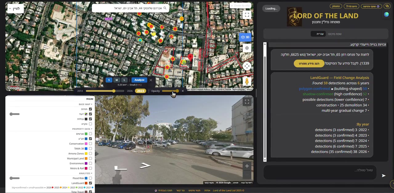
Reading a Seattle Block: Values, Zoning and Tax Records on the Map
About this video
A full walkthrough over King County, Seattle: assessed values drawn straight onto the parcels as a price heat map, Street View context for the block, the zoning code for the selected lot, and the official King County eReal tax report available for download — each building's use and value read from the county's own records.
This is the product doing the thing it exists to do: turning a block of public records into something you can read at a glance. Every price on the map is an assessed value from King County's own assessor data, not an estimate we invented.
The walkthrough moves from the heat map to a single parcel — its zoning district, its use classification, its assessed value, and the county tax report behind all three. Nothing on screen is modelled or predicted; it is the official record, redrawn so it can be understood without knowing which county database to open.