See it in action
Real screenshots from the platform.
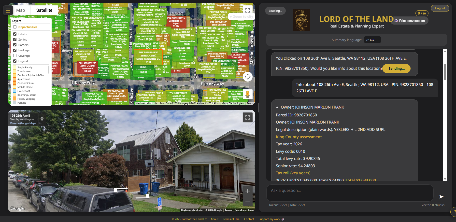
Seattle — Color-coded parcel boundaries with ownership data
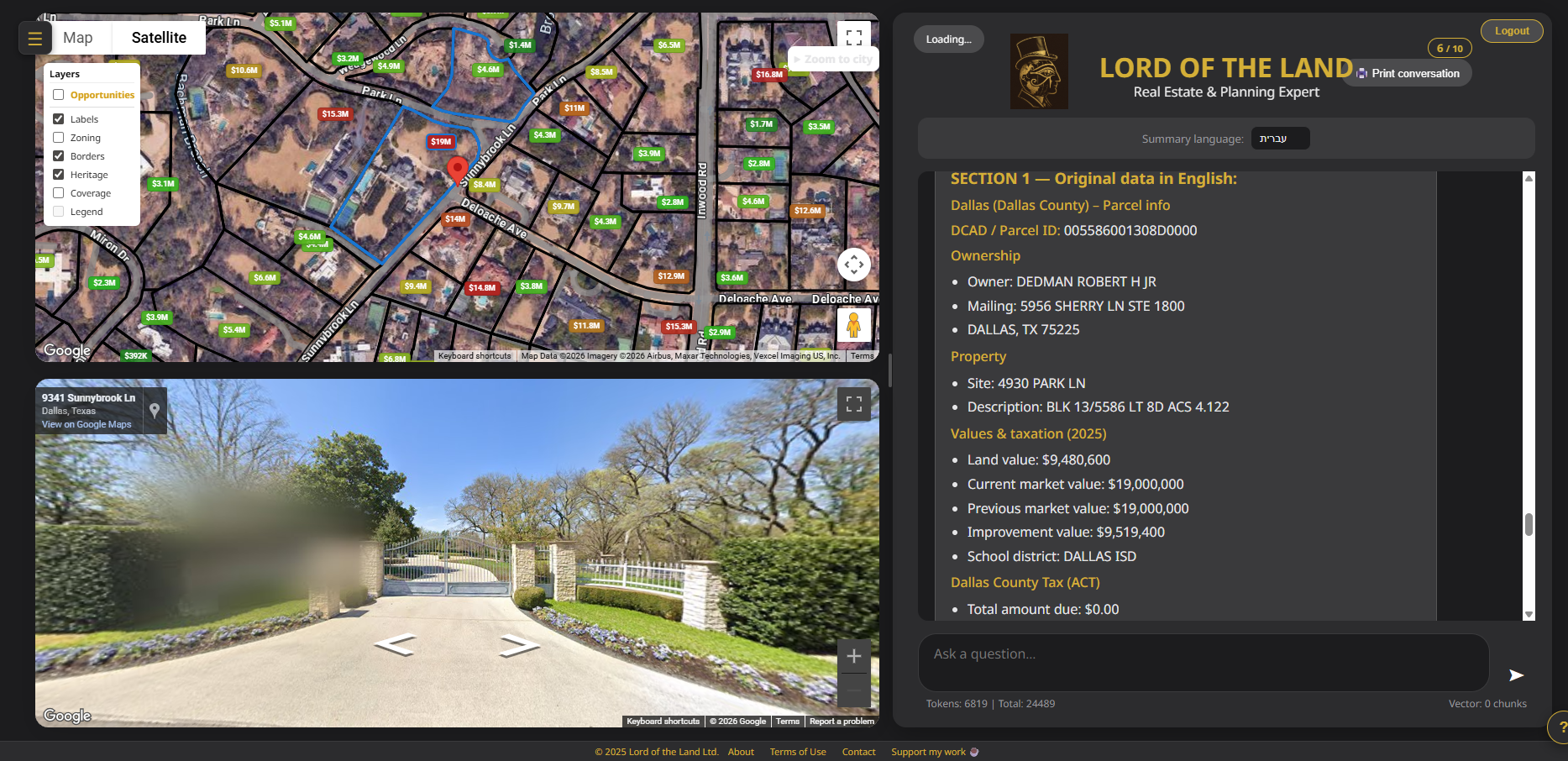
Dallas — Owner, land value, and market data at a glance
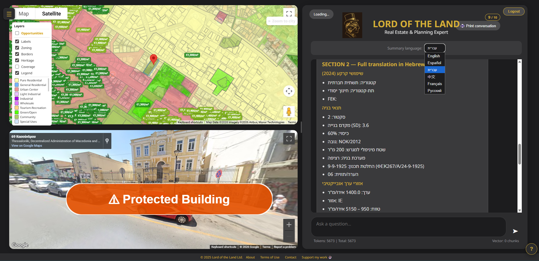
Thessaloniki — Zoning, heritage buildings, multi-language support
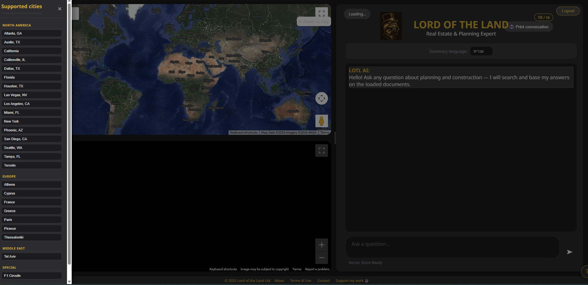
Global — 20+ cities across 6 countries